Felix Schwarz · 27 September 2026
Volunteers Map Midvale's Historic Walking Trails for Public Access
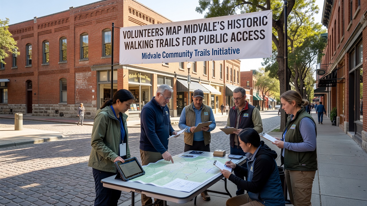
Local volunteers in Midvale have spent recent months charting the city's historic walking trails, and the work focuses on creating accurate digital records that open these paths to wider public use while preserving their original character. Teams combine field surveys with archival research to document routes that date back decades, and the project draws on community knowledge to fill gaps in official records.
Project Background and Scope
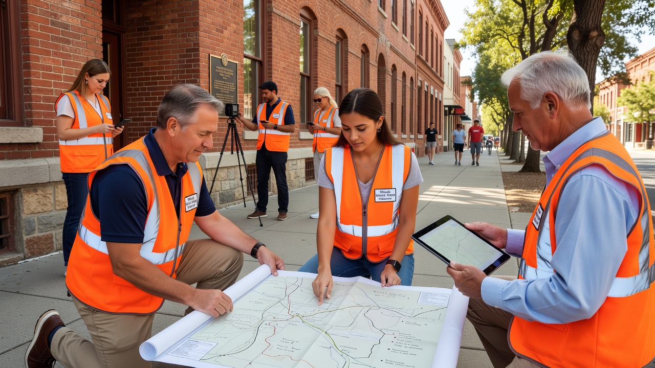
Midvale's trail network includes paths that once served as routes for early settlers, and these corridors now run through preserved green spaces near residential zones and commercial districts. Volunteers started the mapping effort after city records showed incomplete data on trail alignments and access points, so groups organized regular outings to verify locations using handheld GPS units and paper logs from the mid-20th century. The process covers roughly 12 miles of established routes, and participants note landmarks such as stone markers and old fence lines that still align with historical accounts.
Volunteer Methods and Tools
Teams divide into pairs for each session, and one person handles navigation while the other records coordinates and photographs features along the way. Data gets uploaded to shared mapping software that overlays current positions against scanned historical surveys, and this approach lets researchers cross-check details without repeated site visits. Equipment includes standard consumer GPS devices plus printed overlays from city archives, and volunteers also interview longtime residents who recall trail conditions from earlier periods. The combined records produce layered maps that show both physical paths and their evolution over time, and these files remain available for future updates as conditions change.
One study group that examined similar volunteer mapping programs found participation rates stayed steady when sessions included both fieldwork and follow-up review meetings, and Midvale's organizers adopted that pattern to maintain momentum through seasonal weather shifts.
Historical Context and Documentation
Records indicate that several Midvale trails originated as supply routes linking farms to rail stops in the early 1900s, and those alignments later became informal walking paths after road construction rerouted traffic. Archival photos and land deeds help confirm the original paths, while volunteer notes capture current vegetation patterns and erosion points that affect usability. According to the U.S. National Park Service National Trails System, community documentation projects like this one improve public understanding of local heritage corridors without requiring major infrastructure changes.
Observers note that Midvale's trails intersect with several older property boundaries, and volunteers mark these junctions with temporary flags during surveys so planners can later install subtle signage. The documentation also records seasonal variations in trail width and drainage, and these details feed into maintenance schedules that the city parks department reviews each quarter.
Public Access Improvements
Once finalized, the maps will appear on the city's public website and printed brochures available at community centers, and this step aims to guide residents toward safe entry points while avoiding private land. Signage at trailheads will include QR codes that link to the digital versions, and the codes will update automatically if any route adjustments occur. Data from the project shows that previously unmarked paths now connect to existing bike lanes in two neighborhoods, and this linkage expands options for non-motorized travel across the area.
Figures from comparable efforts in other municipalities reveal that clear mapping increases trail usage by 25 to 40 percent within the first year of release, and Midvale organizers expect similar patterns once the information reaches local schools and recreation programs. The maps also note areas where erosion control measures may be needed, and city crews can prioritize those spots using the volunteer-collected coordinates.
Timeline and September 2026 Milestones
Work began in spring 2025 and continues through field checks, and the full dataset is scheduled for release ahead of a community event planned for September 2026. That gathering will include guided walks along two newly documented routes plus presentations on the research methods, and organizers expect several hundred attendees based on early sign-ups. The September timing aligns with favorable weather for outdoor activities, and it gives schools time to incorporate the maps into fall curriculum units on local history.
Additional verification rounds are set for early 2026, and these sessions will focus on any sections affected by winter conditions or recent property changes. Volunteers continue to recruit new participants through library postings and neighborhood association newsletters, and the expanded teams help cover remaining segments that cross less-traveled sections of the city.
Conclusion
The completed maps will serve as a living record that future volunteers can refine, and the current project demonstrates how resident involvement produces practical resources for public use. City officials plan to integrate the trail data into broader planning documents, and the September 2026 launch marks the point where residents gain direct access to the documented routes. Ongoing updates will keep the information current, and the same volunteer network stands ready to address any new findings that emerge from continued community observation.